Understanding Property Lines and Surveys in NOLA Homes
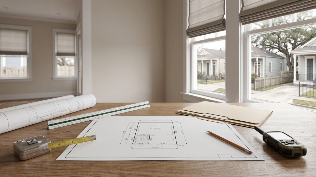
When you buy a home in New Orleans, you’re not just purchasing a building. You’re purchasing a specific piece of land with defined legal boundaries. Yet many buyers and sellers never see a survey and don’t fully understand where their property actually begins and ends. This matters more than you might think, especially in NOLA where properties vary widely in shape, size, and lot configuration. Whether you’re buying your first home or looking to purchase investment property, understanding property lines and surveys protects your interests and prevents costly disputes down the road.
What Is a Property Survey and Why You Need One
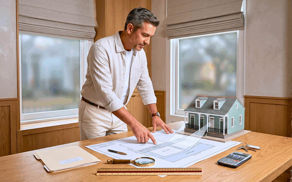
A property survey is a precise measurement and mapping of your land. A licensed surveyor uses GPS technology, historical records, and field measurements to mark the exact boundaries of your lot. The survey shows the location of structures, easements, encroachments, and any other features that affect your property rights.
In New Orleans, surveys are especially important because of the city’s complex history and varied lot layouts. Some neighborhoods have properties that predate modern surveying standards. Others sit on land reclaimed from swamps or bayous. Older surveys may need updating to reflect current conditions or to satisfy lender requirements. Most mortgage lenders require a current survey before closing, though some will accept an updated version of an existing survey to save money.
Common Survey Issues in New Orleans Properties
New Orleans homes face particular boundary challenges. Encroachments happen when a neighbor’s fence, driveway, or structure sits partially on your land. Underground utilities like sewer lines, water mains, and cable conduits often cross properties, creating easements that restrict what you can build or dig. Gaps between the property line and where structures actually sit can create legal ambiguity about true ownership and usable space.
Settling is another concern in NOLA. Because of the region’s soil composition and water table, structures shift over time. A survey from thirty years ago may no longer match the current footprint of a house or the position of fences and driveways. When you list your home for sale, a new survey protects both you and the buyer by establishing where things actually are right now, not where a decades-old document says they should be.
About the Author: Billy Borrouso is a licensed real estate broker and Certified Residential Specialist (CRS) with over 20 years of experience in the New Orleans metropolitan area. Since 2004, Billy has guided buyers, sellers, and investors through every stage of the real estate process from first-time home purchases to new construction in Old Metairie. He is a consistent NOMAR Gold Award recipient (2007–2011) and previously worked with Esslinger-Wooten-Maxwell Realtors, one of South Florida’s largest firms. Billy’s deep knowledge of New Orleans neighborhoods and his hands-on approach make him a trusted partner from start to finish.
Survey Costs and When to Order One
A standard residential survey in the New Orleans area typically costs between $300 and $800 depending on lot size and complexity. An updated survey of an existing one costs less than a completely new survey. When buying, ask your real estate agent about whether the seller has a recent survey. If one exists and is less than five or ten years old, your lender may accept it as is.
For new construction or development, surveys become even more critical. They guide placement of improvements, ensure compliance with zoning codes, and prevent costly mistakes during building. If you’re developing property in New Orleans, work with a surveyor early in the planning phase, not after you’ve already broken ground.
Don’t skip this step to save a few hundred dollars. A boundary dispute or a discovered encroachment can cost thousands to resolve. A clear survey gives you peace of mind and makes your property easier to sell later.
For detailed guidance on property surveying requirements and standards, consult the National Association of Realtors. Have questions about buying or selling? Reach out to us today and we’ll be happy to help you every step of the way.